Save up to $3,000 on new electronics
Trade Up Sales Event
A reliable and esteemed resource for boaters across American waterways is now available with a LightHouse Charts Premium subscription
Monday - 08 January 2024
Hudson, NH: Raymarine, global leaders in high-performance marine electronics for the recreational boating, marine first responder, and law enforcement markets, announced today that data from Waterway Guide is now included in all Raymarine LightHouse Charts Premium subscriptions.
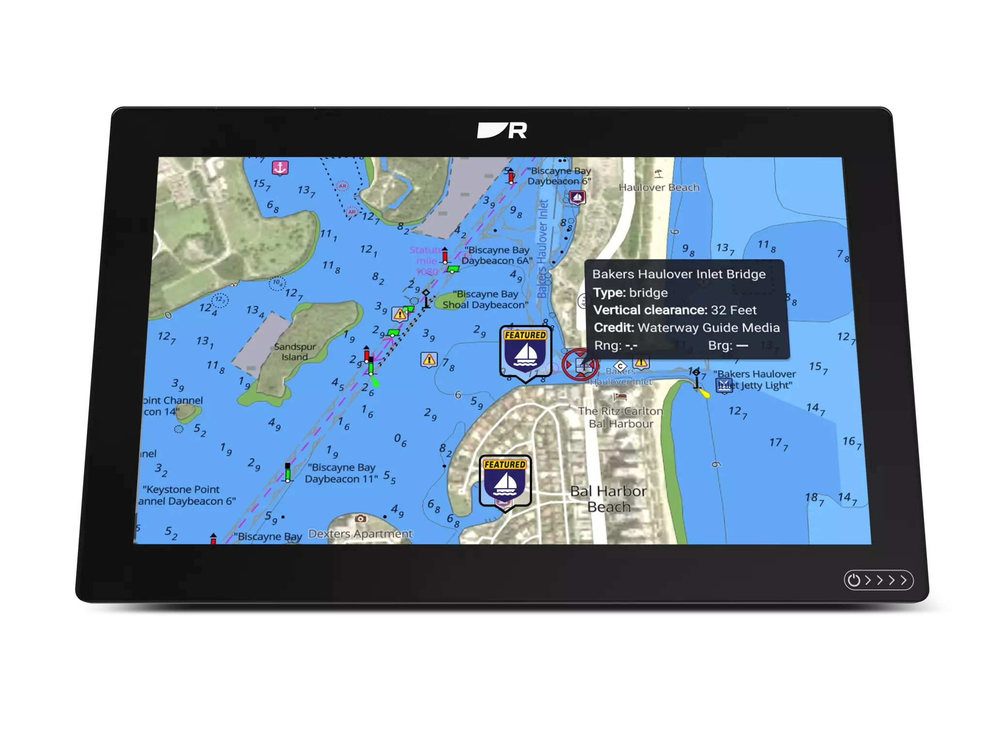
Waterway Guide has been a trusted source for boaters across American waterways for eight decades. Its reach stretches from the Great Lakes to Caribbean destinations. A wealth of digital information is available to LightHouse Charts Premium users, including databases of marinas, anchorages, and service facilities, pinpointed locations of bridges and locks, plus essential navigation alerts about crucial safety information and potential hazards.
LightHouse Charts Premium allows Raymarine users to access the latest nautical charts and premium points of interest. LightHouse Premium data also includes the latest chart updates, fishing local hotspots, and high-resolution satellite imagery for a complete view of shorelines, shallows and more.
All existing LightHouse Charts Premium users can add the Waterway Guide data by updating their subscription via download from chartstore.raymarine.com.


