NEW! Axiom 2 Chartplotters Now Available
Explore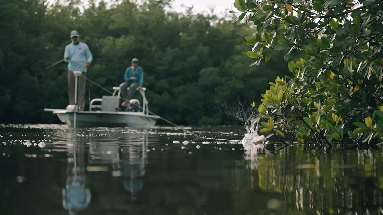
Florida Marine Tracks' North and Full-State chart cards announced for Raymarine Axiom displays.
Tuesday - 15 July 2025
Hudson, NH: Raymarine – global leader in high-performance marine electronics for the recreational boating, marine first-responder and law-enforcement markets – announced today that the North Florida chart for Florida Marine Tracks will be compatible with Axiom displays and available for sale in August 2025. With the addition of North Florida charts, Florida Marine Tracks now offers a North and South Florida Marine Map on one convenient chart card, as well.
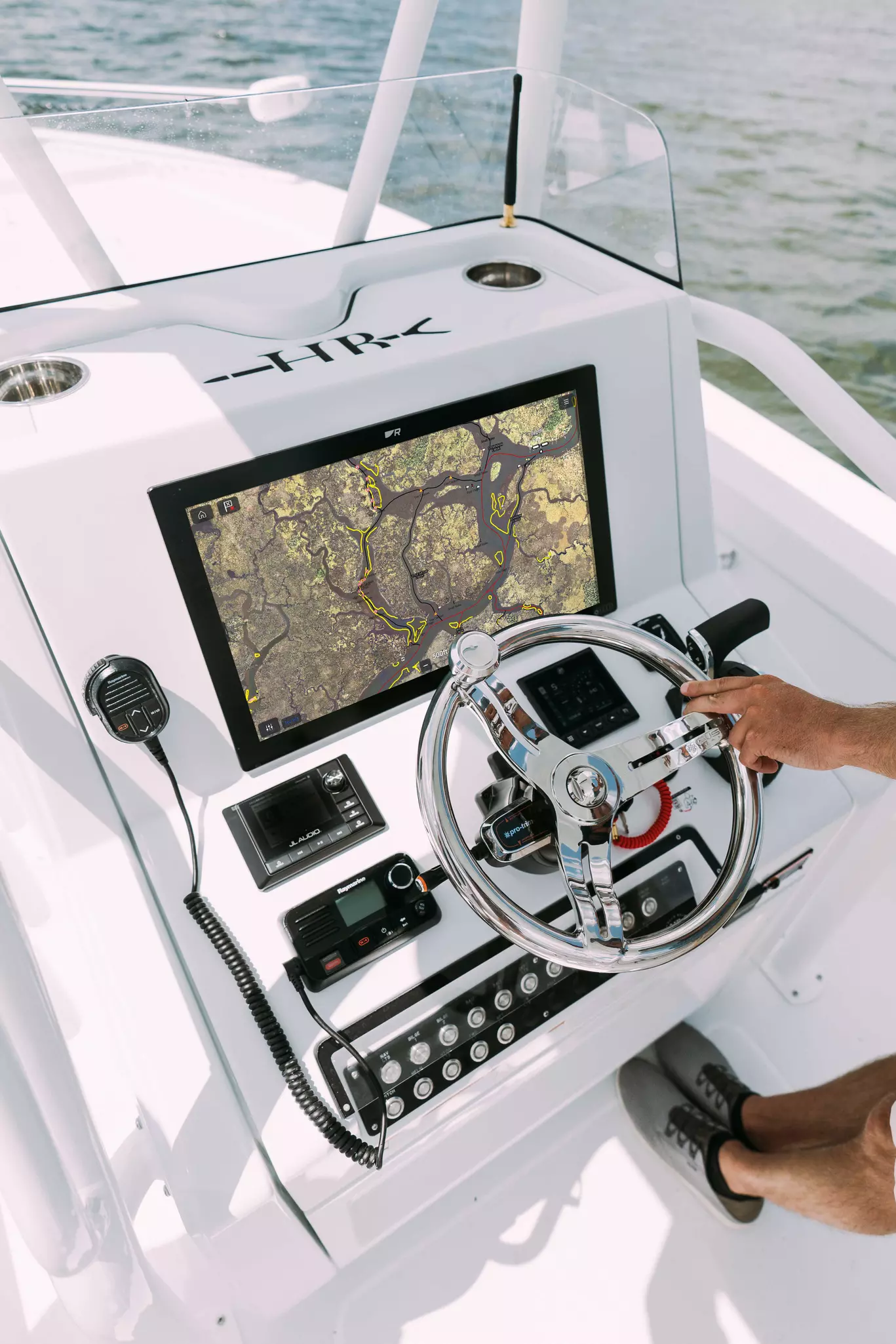
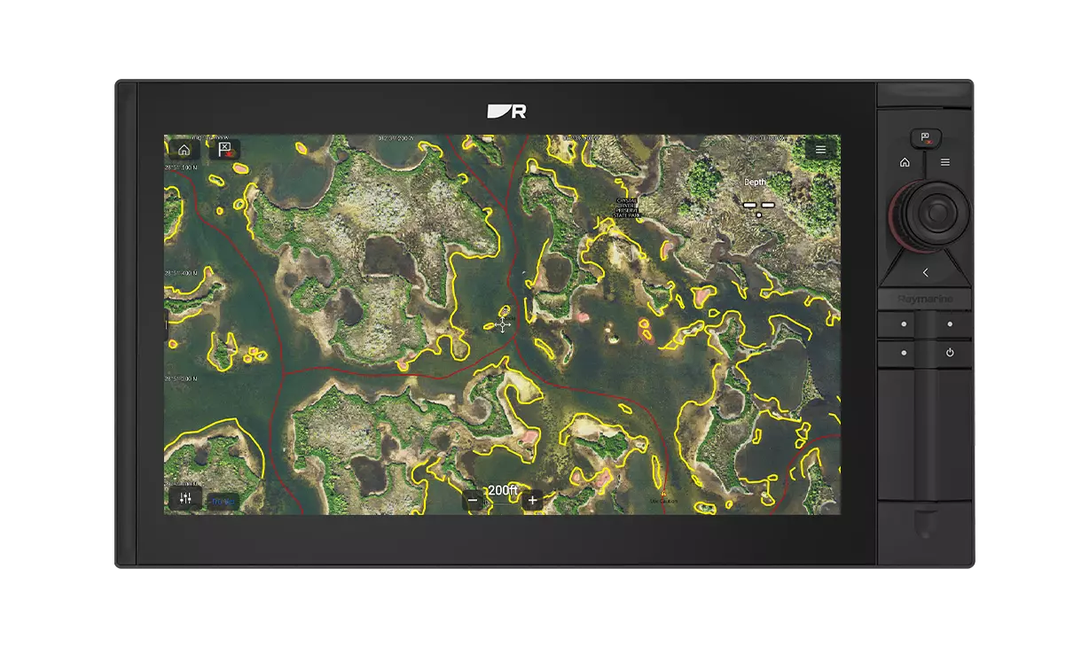
Florida Marine Tracks offers thousands of miles of precisely drawn detailed navigation tracks for flats, bay boats and other shallow-water boats running in challenging areas. The North Florida chart will include inland areas north of a line from Sebastian Inlet to North Sarasota Bay, as well as run to the Georgia and Alabama state boundaries. Florida Marine Tracks maps are corrected to provide the precise location of navigation aids, including daymarkers, buoys and signs, as well as concrete abutments, PVC stakes and much more. The native Florida Marine Tracks aerial imagery features resolution ranging from three-inches to one-foot. This lets anglers to zoom in with clarity from 50 to 100 feet with no loss of resolution. Axiom 2 Pro and Axiom 2 XL’s powerful six-core processor delivers fast redraws and high-definition renderings of Florida Marine Tracks premier, high-resolution fish charts.
“We consistently strive to make our Axiom displays more robust and user-friendly, and the compatibility with the new Florida Marine Tracks North Florida chart gives anglers the tools they need for a successful day on the water,” said Jamie Dery, Vice President of Raymarine Americas. “ISLA’s North Florida marine charts don’t just rely on government data, they double-check and correct any outdated information for the smoothest navigation. This integration is sure to give customers a new level of confidence while navigating the sometimes-challenging shallows across North Florida.”
As noted, the North Florida, as well as the combined North and South Florida chart of Florida Marine Tracks, compatible with Axiom displays, is scheduled to be available for sale by ISLA Mapping as early as August 2025. For more information on Raymarine and Florida Marine Tracks, visit https://www.raymarine.com/en-us/our-products/nautical-charts/chart-partners/florida-marine-tracks