NEW! Axiom 2 Chartplotters Now Available
Explore
Teledyne Raymarine announced today it has expanded its access to new CMOR NEX GEN all-in-one seafloor and navigational charts to include full coverage for the entire state of Florida.
Monday - 13 July 2026
Hudson, NH, July 13th — Teledyne Raymarine, a global leader in high-performance marine electronics for the recreational boating, marine first-responder and law-enforcement markets – announced today it has expanded its access to new CMOR NEX GEN all-in-one seafloor and navigational charts to include full coverage for the entire state of Florida.
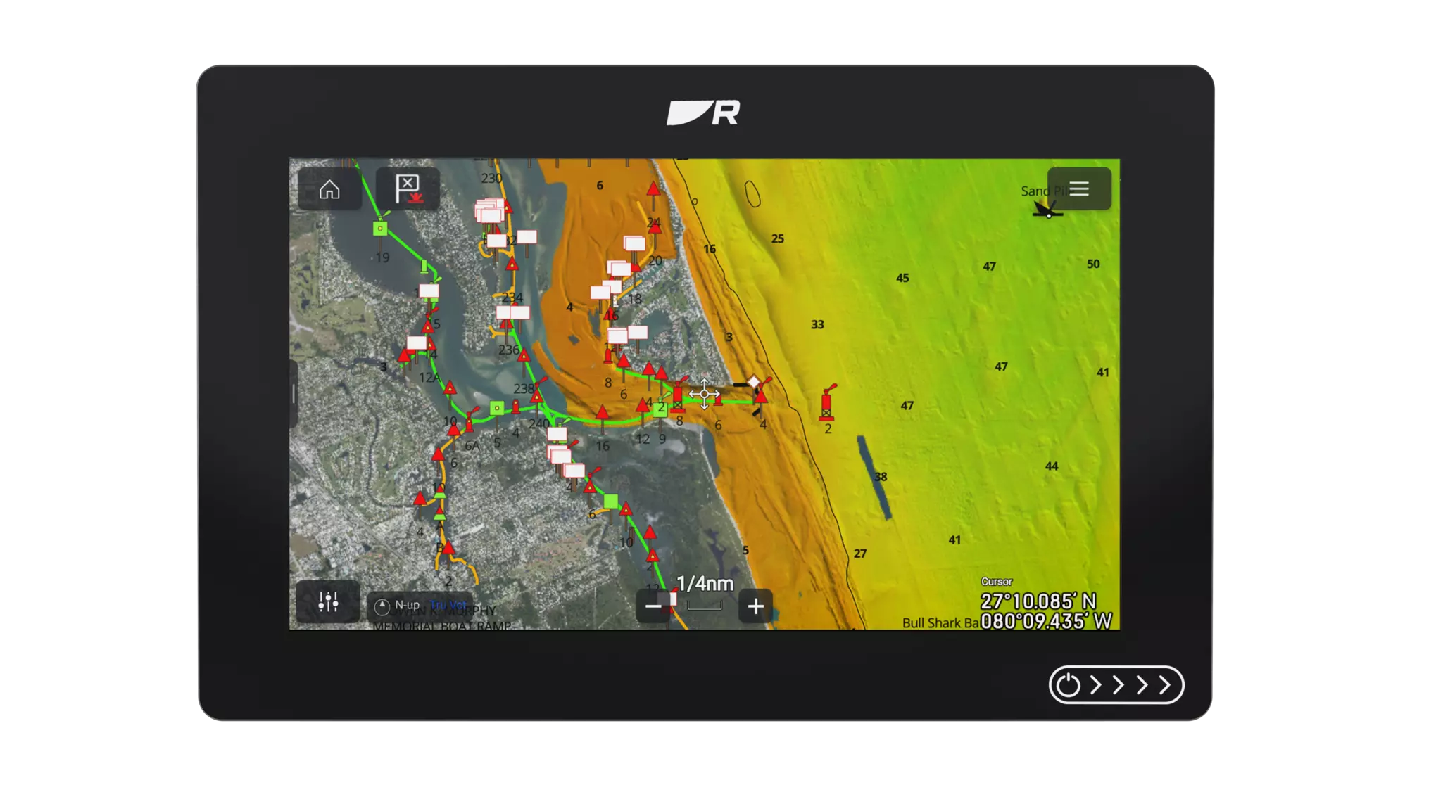
The new charts available from CMOR now feature the South Florida, West Florida and the all-new South Atlantic V2 regions with maps that combine high-resolution bathymetric imagery with full navigational data and satellite imagery. Along with additional Florida coverage, CMOR NEX GEN South Atlantic V2 also covers the coastal areas of Georgia and South Carolina.
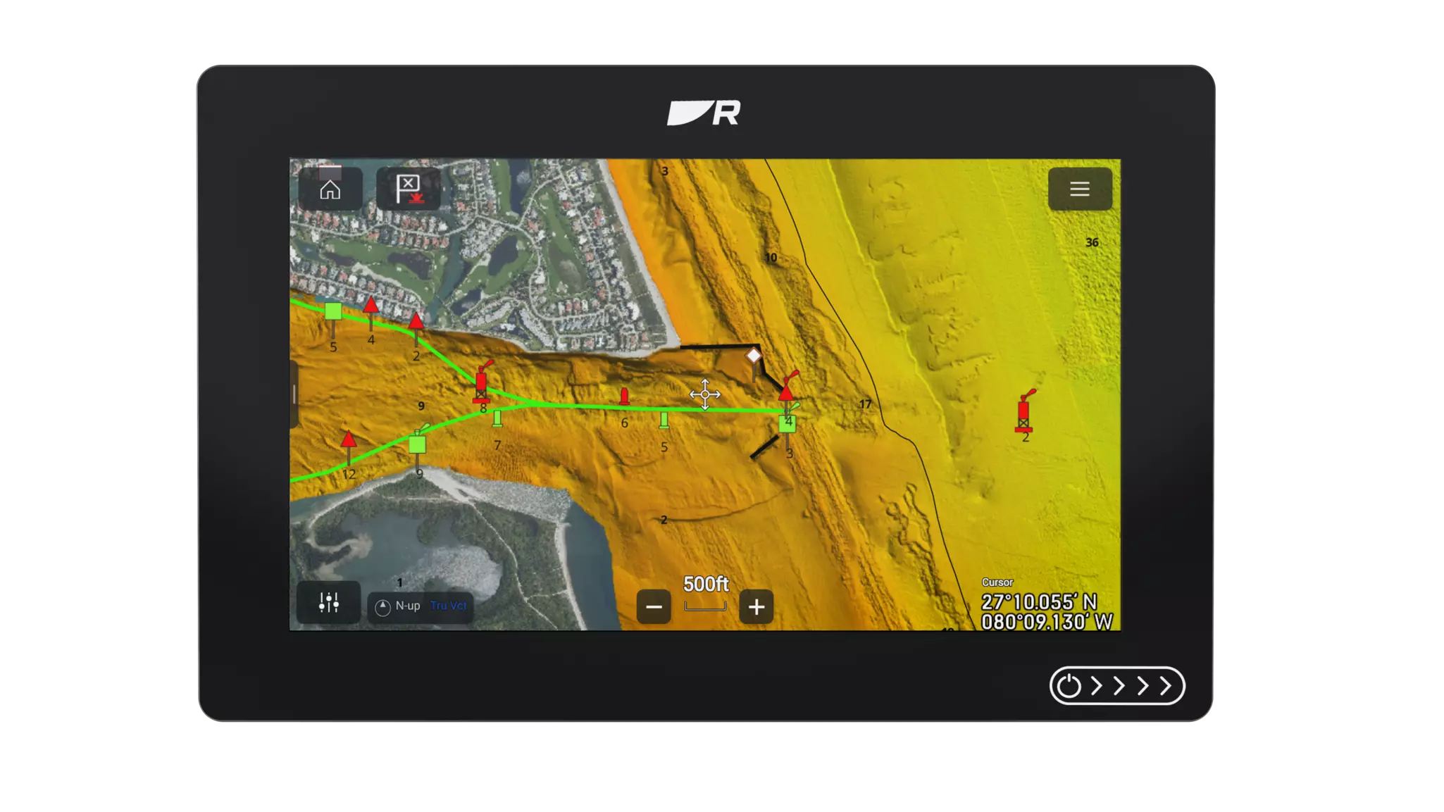
CMOR NEX GEN mapping is compatible with Raymarine Axiom 2 Pro, Axiom 2 XL and the all-new, more affordable Axiom 2 chartplotter (with LightHouse operating software version 4.11 or greater). In addition to detailed seafloor imagery revealing subtle ledges, wrecks and drop-offs, CMOR NEX GEN chart features includes:
CMOR also announced that U.S. Gulf State coverage will be released in July 2026, further expanding coverage for these powerful chart features for serious fishing and diving enthusiasts.
ABOUT TELEDYNE RAYMARINE:
Raymarine designs and produces high-performance marine electronics for mariners who want to eliminate doubt and make the most of their experience and time on the water – whether it’s for work or play. With a legacy of marine navigation technology spanning over 80 years, Raymarine products are renowned today for their rugged design, proven performance and unmatched reliability. Our best-in-class sensors and intelligent navigation systems reflect our commitment to giving mariners the freedom to experience the ocean with confidence. Our range of marine electronics is available through a global network of dealers and distributors. For more information, visit www.raymarine.com.


