NEW! Axiom 2 Chartplotters Now Available
ExplorePreloaded microSD card with coverage of the waters of the Colombia Pacific Sea


Take command of surrounding waters with LightHouse Charts Colombia Pacific Sea. Discover visually stunning, customizable marine charts with color-shaded depth contours, data-rich points of interest and superior clarity that only Raymarine can provide.
Discover the latest updates along with coverage and chartplotter compatibility for the Colombia Pacific Sea LightHouse Chart
The Pacific waters of Colombia cover a large and relatively remote maritime region extending from the border with Panama (near Cabo Corrientes) southward to the Ecuador border (near Cabo Manglares), and westward far into the Eastern Tropical Pacific.
For the latest Colombia Pacific Sea chart updates, please visit Chart Manager.
Raymarine Axiom, Axiom+, Axiom Pro, Axiom XL, Axiom 2 and Raymarine Element
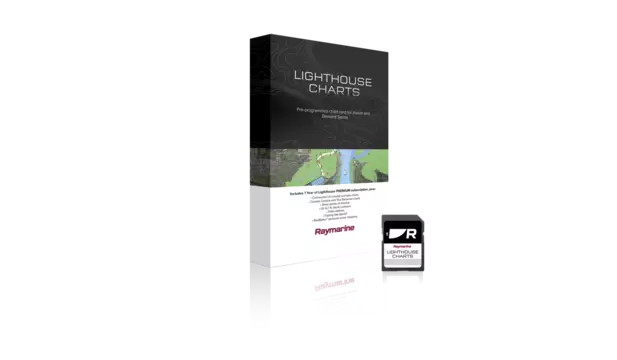
Includes 1 Free year of LightHouse Charts Premium Subscription
The LightHouse Charts Manager is the portal to download LightHouse Charts and manage your LightHouse Charts Premium subscription. Use the LightHouse Charts manager to add Points of Interests / Premium Content to your selected regions - for both blank microSD cards and preloaded LightHouse microSD cards. Watch the video to learn how to download your charts and add POI to your selected regions.
Visit the LightHouse Charts Manager


