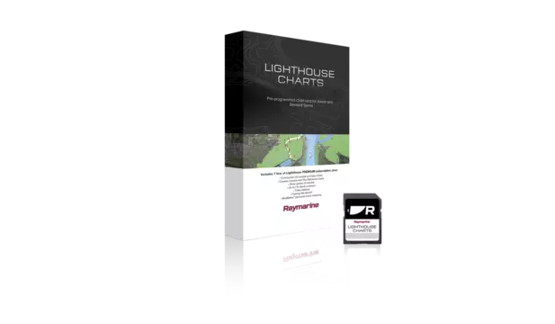
Preloaded microSD card with coverage for entire coastline of France, as well as the island of Corsica.


Take command of surrounding waters with LightHouse Charts France. Discover visually stunning, customizable marine charts with color-shaded depth contours, data-rich points of interest and superior clarity that only Raymarine can provide.
Coverage:
Covers the entire French marine coastline both the Atlantic and Mediterranean sides including the Corsica Island. Inland coverage includes: The Adour from Coast to Bayonne, Gironde Estuary, The Dordogne, The Garonne, The Loire from coast to Nantes, The Seine from coast to Nogent-sur-Seine, The Oise from The Seine to Clairoix, the Dérivation du canal de Bourbourg, the Canal de Neufossee and Canal d'Aire. Premium point of interest data included from Marinas.com, Navily, Pagine Azzurre and Reeds Nautical Almanac with subscription.
Compatibility:
Raymarine Axiom (all models), Raymarine Element (all models)
$149.99 (USD)
Includes 1 Free year of LightHouse Charts Premium Subscription
The LightHouse Charts Manager is the portal to download LightHouse Charts and manage your LightHouse Charts Premium subscription. Use the LightHouse Charts manager to add Points of Interests / Premium Content to your selected regions - for both blank microSD cards and preloaded LightHouse microSD cards. Watch the video to learn how to download your charts and add POI to your selected regions.
Visit the LightHouse Charts Manager


