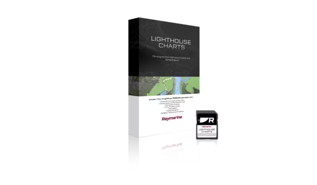
Preloaded microSD card with coverage for full coastal marine and inland navigation charts for Belgian and Dutch waters.


Take command of surrounding waters with LightHouse Charts Netherlands and Belgium. Discover visually stunning, customizable marine charts with color-shaded depth contours, data-rich points of interest and superior clarity that only Raymarine can provide.
Coverage:
The Netherlands and Belgium chart includes full coastal marine navigation charts covering Dutch and Belgian waters. The chart has been created using the data of the Local Hydrographic Services enhanced with information from Other Sources for Dutch inland waterways.
Compatibility:
Raymarine Axiom (all models), Raymarine Element (all models)
$149.99 (USD)
Includes 1 Free year of LightHouse Charts Premium Subscription
The LightHouse Charts Manager is the portal to download LightHouse Charts and manage your LightHouse Charts Premium subscription. Use the LightHouse Charts manager to add Points of Interests / Premium Content to your selected regions - for both blank microSD cards and preloaded LightHouse microSD cards. Watch the video to learn how to download your charts and add POI to your selected regions.
Visit the LightHouse Charts Manager


