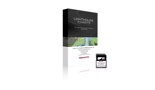
Preloaded microSD card with coverage for entire Swedish coastline, some inland waterways and shallow coastal water mapping featuring Hydrographica.


Take command of surrounding waters with LightHouse Charts Sweden. Discover visually stunning, customizable marine charts with color-shaded depth contours, data-rich points of interest and superior clarity that only Raymarine can provide.
Coverage:
Includes the entire Sweden marine coastline and over 250,000 islands. The Göteborg, Stockholm, Haparanda, and Blekinge Archipelagos are covered in detail. Improved chart detail is provided by Hydrographica giving large-scale and highly accurate special charts of difficult-to-navigate areas. Hydrographica chart data provides 2- and 3-meter depth contours to assist in safer navigational boating. The inland lakes Glafsfjorden, Glan, Hjälmaren, Lelång, Mälaren , Öljaren, Östra Silen, Roxe, Silen, Sommen, Stora Le, Vänern, Vastra and Vättern are included. The Göta älv River, Eskilstunaå River and Södertälje Canal are covered. Premium point of interest data included from Marinas.com with subscription.
Compatibility:
Raymarine Axiom (all models), Raymarine Element (all models)
$149.99 (USD)
Includes 1 Free year of LightHouse Charts Premium Subscription
The LightHouse Charts Manager is the portal to download LightHouse Charts and manage your LightHouse Charts Premium subscription. Use the LightHouse Charts manager to add Points of Interests / Premium Content to your selected regions - for both blank microSD cards and preloaded LightHouse microSD cards. Watch the video to learn how to download your charts and add POI to your selected regions.
Visit the LightHouse Charts Manager


